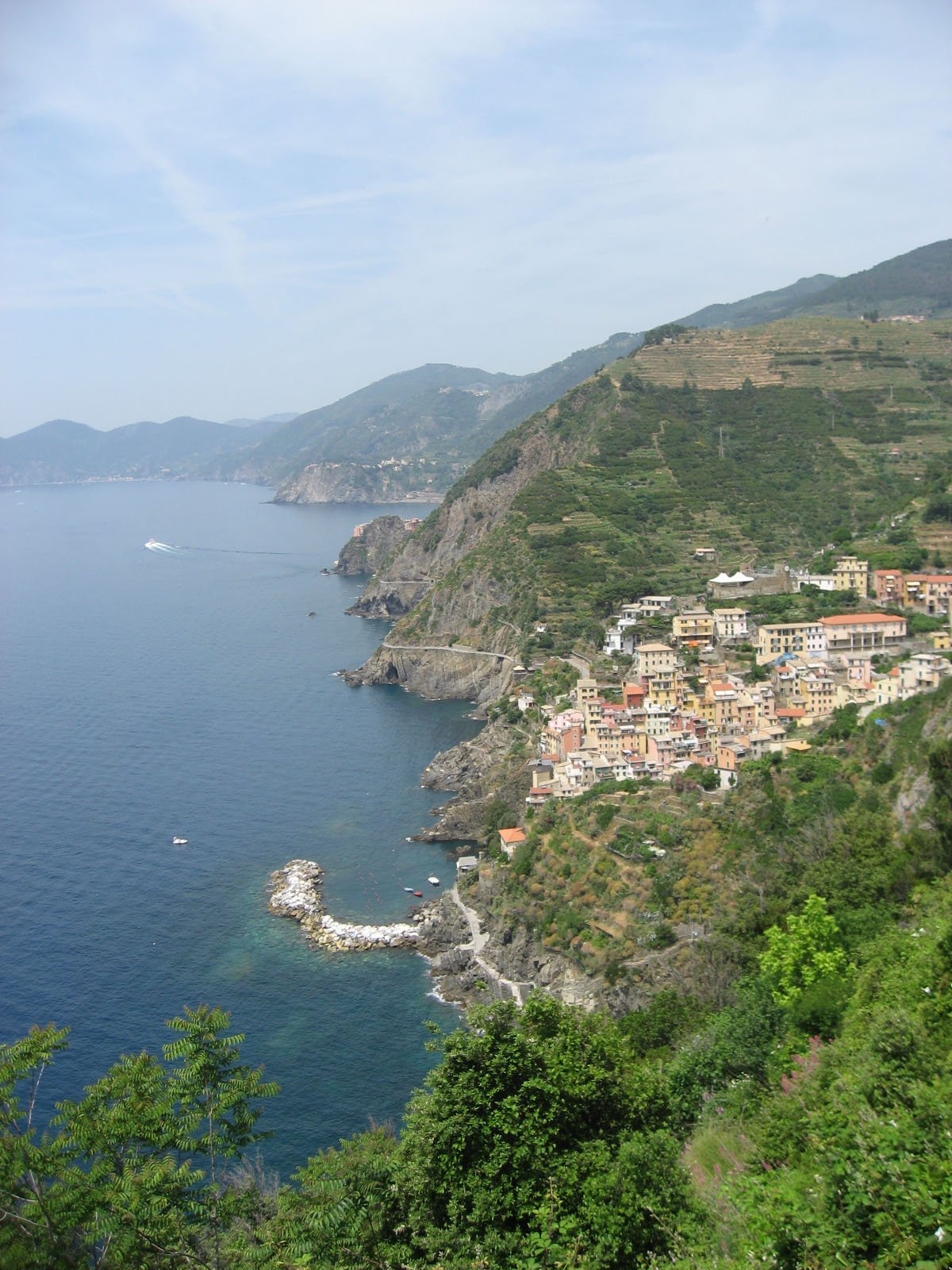
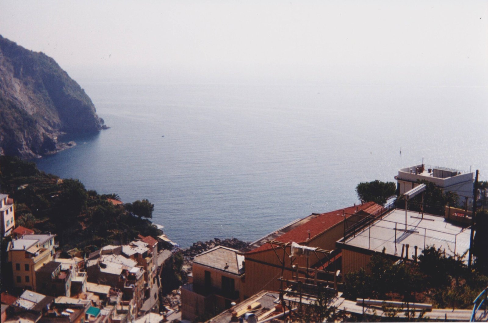
Nestled along the rugged Italian Riviera, Cinque Terre offers hikers an extraordinary 120-kilometer network of trails that wind through five picturesque villages, presenting breathtaking Mediterranean landscapes. Traversing ancient stone paths, terraced vineyards, and dramatic coastal cliffs, these trails provide an unparalleled hiking experience that combines natural beauty, historical charm, and challenging terrain.
How Many Kilometers Are the Cinque Terre Hiking Trails?

Cinque Terre boasts an extensive hiking trail system covering approximately 120 kilometers, with the most famous route being the Blue Trail (Sentiero Azzurro). This iconic trail connects the five villages of Monterosso, Vernazza, Corniglia, Manarola, and Riomaggiore, spanning roughly 11-14 kilometers.
Trail Segment Breakdown
| Trail Segment | Distance | Difficulty | Current Status |
|---|---|---|---|
| Riomaggiore to Manarola | 1.5 km | Easy | Partially Closed |
| Manarola to Corniglia | 5.5 km | Moderate to Difficult | Detour Route |
| Corniglia to Vernazza | 3.5 km | Moderate | Open |
| Vernazza to Monterosso | 3.3 km | Moderate | Open |
What Makes Cinque Terre Hiking Unique?

The Cinque Terre hiking experience is distinguished by:
- Dramatic Coastal Landscapes: Trails offer panoramic views of the Ligurian Sea
- Historical Pathways: Ancient routes used by farmers and fishermen
- Diverse Terrain: From rocky paths to stone steps and vineyard trails
- Cultural Immersion: Direct access to traditional Italian coastal villages
What Should Hikers Prepare Before Exploring?
Essential preparation includes:
- Physical Fitness: Moderate to challenging trails require good stamina
- Proper Gear:
- Sturdy hiking shoes
- Lightweight, breathable clothing
- Sun protection
- Minimum 2 liters of water
- Navigation Tools:
- Cinque Terre National Park trail map
- Offline GPS application
- Cinque Terre Card for trail access
How Challenging Are the Hiking Routes?
Trail difficulties vary significantly:
- Riomaggiore to Manarola: Currently challenging due to alternative route
- Manarola to Corniglia: Most difficult segment with 1,200 steps
- Corniglia to Vernazza: Moderate difficulty with rocky paths
- Vernazza to Monterosso: Rugged terrain with pine forests and farmland
What Are Additional Hiking Options?
Beyond the Blue Trail, hikers can explore:
- High Trail (Alta Via delle Cinque Terre): 35-kilometer route from Portovenere to Levanto
- Inland Mountain Trails: Less crowded alternatives with different perspectives
- Seasonal Guided Hiking Tours: Available through local operators
Cost and Access Considerations
- Cinque Terre Card: 5-10 euros per day
- Trail Access: Some segments require card purchase
- Public Transportation: Included with hiking card
- Recommended Season: April to October
Pro Tips for Cinque Terre Hiking
- Start early to avoid midday heat
- Check current trail conditions before hiking
- Carry sufficient water and snacks
- Wear comfortable, ankle-supporting shoes
- Consider fitness level when selecting routes
References:
– 57Hours Cinque Terre Hiking Guide
– The Planet D Hiking Guide
– Earth Trekkers Trail Information
