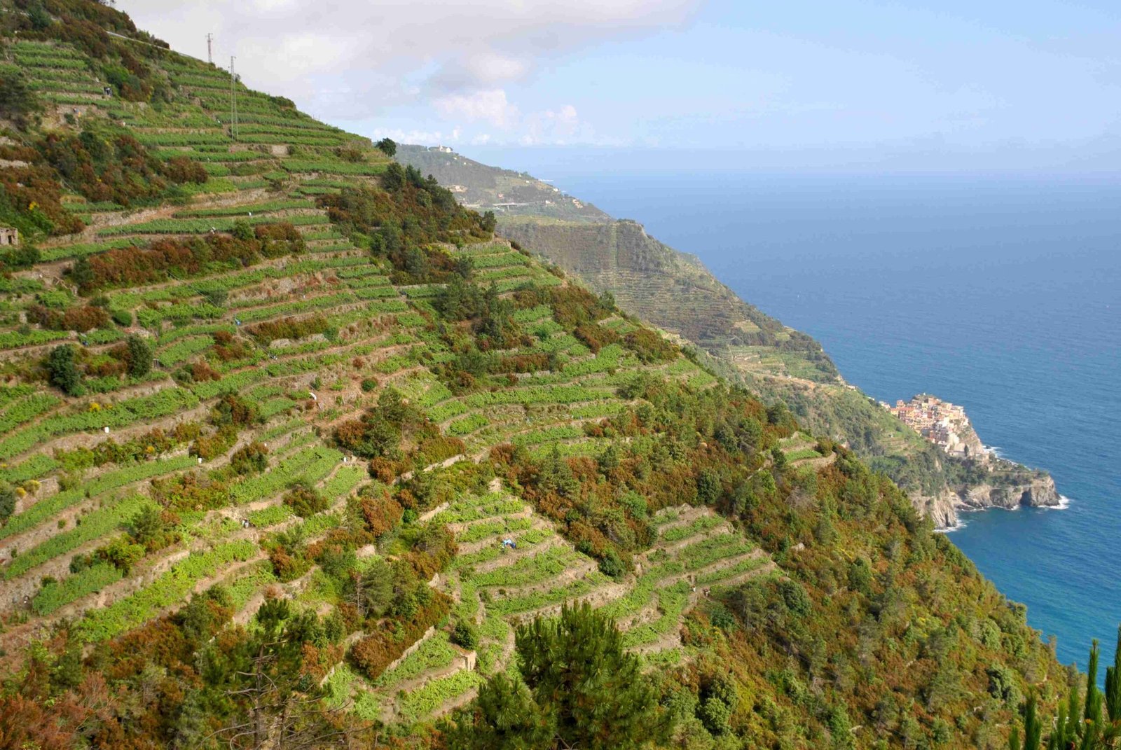
The Alta Via delle Cinque Terre Red Trail is a spectacular 40-kilometer hiking route traversing the rugged Ligurian landscape, connecting Portovenere to the iconic Cinque Terre villages. This challenging trail offers hikers an immersive journey through diverse terrains, historic sanctuaries, and breathtaking coastal panoramas, demanding physical endurance and providing unparalleled natural experiences.
What Makes the Alta Via delle Cinque Terre Red Trail Unique?

The Alta Via delle Cinque Terre Red Trail, also known as Sentiero n° 1, represents more than just a hiking path—it’s a journey through the heart of Ligurian wilderness. Spanning approximately 40 kilometers, this trail challenges adventurers with its dramatic elevation changes and diverse landscapes.
How Difficult is the Alta Via Trail?
| Difficulty Level | Elevation Range | Average Hiking Time |
|---|---|---|
| Medium to Challenging | 0-800 meters | 12-14 hours |
| Physical Fitness Required | Good Cardiovascular Endurance | Recommended Preparation |
Key Trail Characteristics
- Total Length: 40 kilometers
- Starting Elevation: Sea level
- Maximum Elevation: Approximately 800 meters
- Trail Type: Mountain ridge and coastal paths
What Landmarks Will Hikers Encounter?
Hikers traversing the Alta Via delle Cinque Terre Red Trail will experience several remarkable landmarks:
- Monte Muzzerone
- 310-meter limestone wall
- Popular rock climbing destination
-
Offers panoramic coastal views
-
Colle del Telegrafo
- Stunning viewpoint
- Visibility of Apuan Alps
-
Glimpse of Carrara marble quarries
-
Campiglia Village
- Located 400 meters above sea level
- Panoramic sea and Gulf of La Spezia views
What Should Hikers Prepare?
Essential Hiking Preparation
- Water Supply: Carry sufficient water
- Navigation: Detailed hiking map
- Seasonal Considerations:
- Best during spring and autumn
- Early morning or late afternoon summer hikes recommended
- Check trail conditions after adverse weather
How to Navigate the Trail?
The Alta Via delle Cinque Terre Red Trail is well-marked with clear trail signs (Sentiero n° 1). Hikers should:
- Use official Cinque Terre National Park maps
- Check trail status at local information points
- Consider guided tour options for first-time hikers
What Are Connected Hiking Routes?
- Sentiero Azzurro
- 11 kilometers coastal route
- Connects Riomaggiore to Monterosso
-
Requires Cinque Terre Trekking Card
-
Via dei Santuari
- 22-kilometer sanctuary route
- Connects five historical sanctuaries
- Offers spectacular landscape views
Safety and Conservation Tips
- Respect local environment
- Stay on marked trails
- Carry appropriate hiking gear
- Leave no trace principles
Conclusion

The Alta Via delle Cinque Terre Red Trail offers an extraordinary hiking experience, blending natural beauty, historical significance, and physical challenge. Proper preparation and respect for the landscape ensure an unforgettable adventure.

