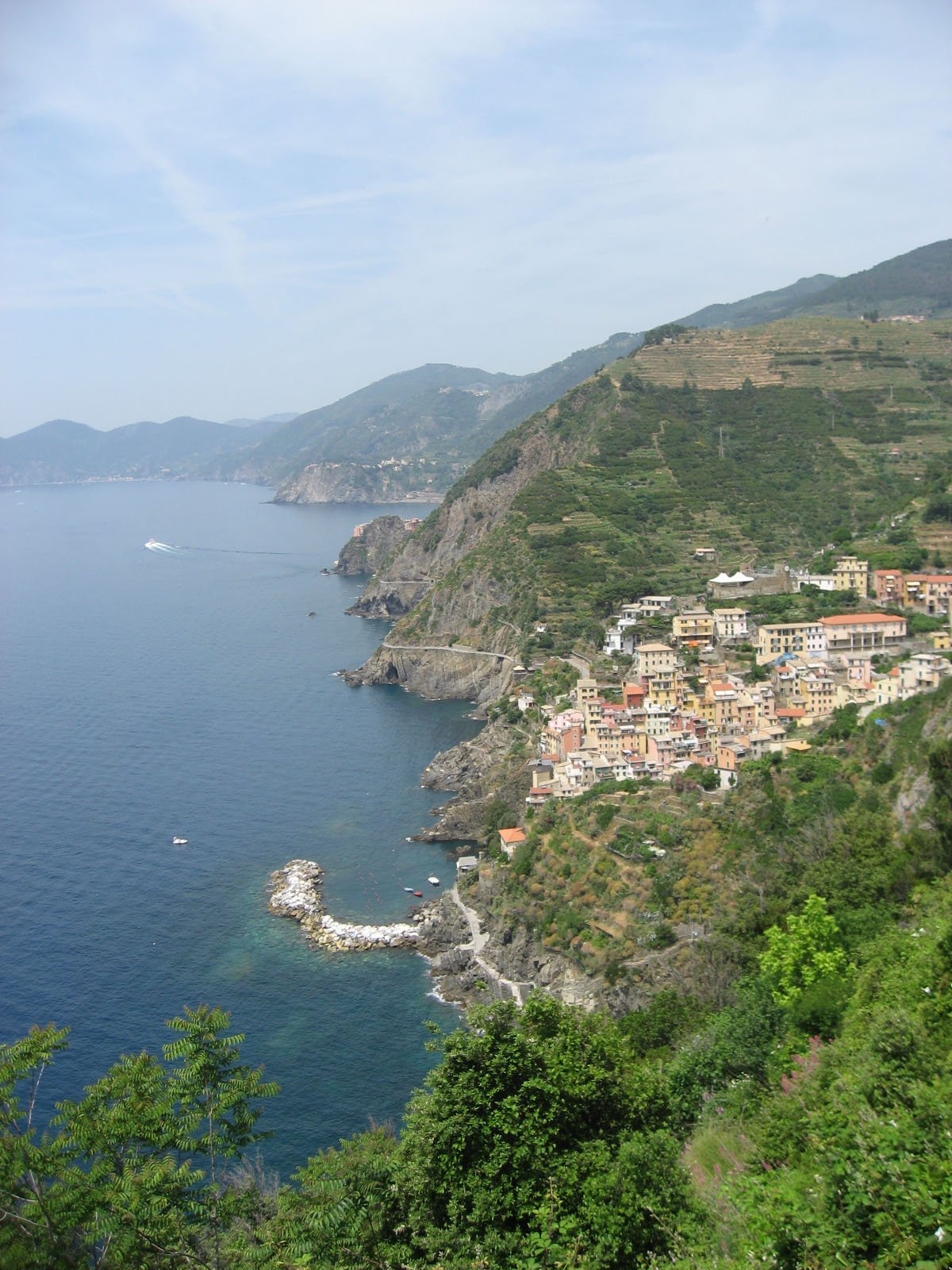
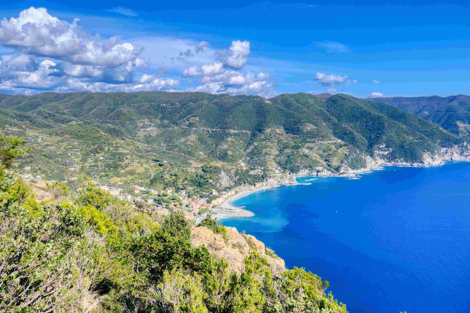
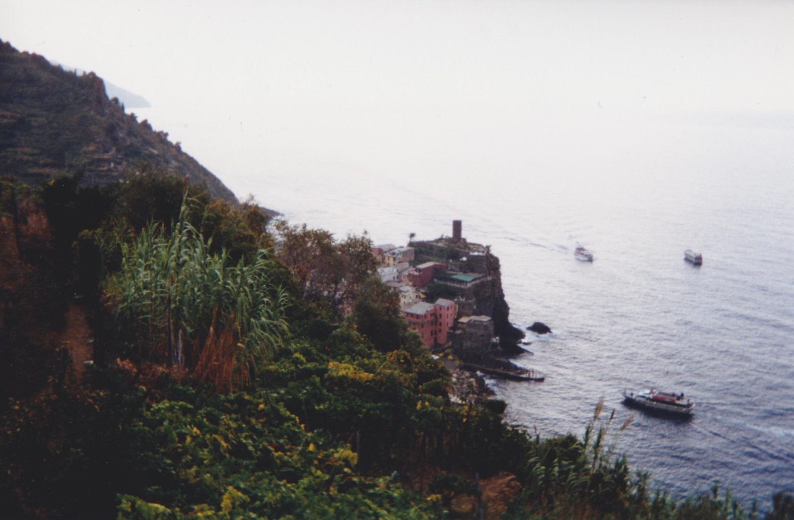
Nestled along the rugged Italian Riviera coastline, Cinque Terre offers photographers an unparalleled canvas of colorful villages, dramatic cliffs, and azure Mediterranean waters. The Cinque Terre aerial view reveals a mesmerizing landscape where five historic fishing villages—Monterosso, Vernazza, Corniglia, Manarola, and Riomaggiore—cling dramatically to steep terraced hillsides, creating a visual masterpiece that seems almost too perfect to be real.
What Makes Cinque Terre Aerial Views Unique?

Cinque Terre’s extraordinary topography creates a visual spectacle unlike any other destination. The aerial perspective unveils:
- Architectural Marvel: Compact, colorful houses stacked vertically against steep terrain
- Natural Landscape: Terraced vineyards and olive groves blending with rocky coastlines
- Geological Complexity: Intricate interaction between human settlement and challenging landscape
Where Are the Best Drone Photography Locations?
| Village | Recommended Coordinates | Photography Highlights |
|---|---|---|
| Manarola | 44.107326, 9.725507 | Marina and cliff-side views |
| Vernazza | 44°08’07.7″N 9°40’53.3″E | Harbor and town center |
| Riomaggiore | 44°05’53.6″N 9°44’15.2″E | Steep village layout |
How to Capture Stunning Cinque Terre Aerial Views?

Technical Considerations for Drone Photography
- Equipment Recommendations:
- High-resolution drone with stabilization features
- Wide-angle lens capability
-
Battery backup for extended shooting
-
Optimal Shooting Conditions:
- Early morning or late afternoon golden hours
- Minimal wind conditions
- Clear sky or light cloud coverage
What Are the Legal Restrictions?
Drone operators must adhere to strict regulations:
- Maximum flight altitude: 120 meters
- Obtain necessary permits for commercial photography
- Respect no-fly zones around populated areas
- Maintain visual line of sight with the drone
Technical Photography Tips
Camera Settings for Perfect Aerial Shots
- ISO: 100-400 for minimal noise
- Shutter Speed: 1/250 to 1/500 seconds
- Aperture: f/4 to f/8 for balanced depth of field
- White Balance: Auto or Daylight preset
Seasonal Considerations for Aerial Photography
| Season | Photography Characteristics | Recommended Months |
|---|---|---|
| Spring | Lush vegetation, mild temperatures | April-May |
| Summer | Vibrant colors, crowded landscapes | June-August |
| Autumn | Soft light, fewer tourists | September-October |
What Post-Processing Techniques Enhance Aerial Images?
- Color correction to maintain natural tones
- Contrast adjustment
- Selective sharpening
- Minimal HDR processing
Safety and Ethical Guidelines
- Respect local communities
- Minimize environmental disruption
- Follow all local and national drone regulations
- Obtain necessary permissions
Final Composition Tips
- Use leading lines of terraced landscapes
- Capture geometric patterns of villages
- Include surrounding natural elements
- Experiment with different angles and perspectives
Pro Tip: Always scout locations beforehand and understand local drone regulations to ensure a smooth and legal aerial photography experience.
Technical Gear Recommendations
- DJI Mavic 2 Pro
- DJI Air 2S
- Autel EVO II
- Extra batteries
- Neutral density filters
Conclusion
Cinque Terre aerial views offer photographers an extraordinary opportunity to capture one of the world’s most unique landscapes. With careful planning, technical skill, and respect for local regulations, you can create stunning visual narratives that showcase the extraordinary beauty of this UNESCO World Heritage site.
References:
1. Cinque Terre Tourism Official Website
2. Italian Drone Regulations
3. UNESCO World Heritage Site Information

