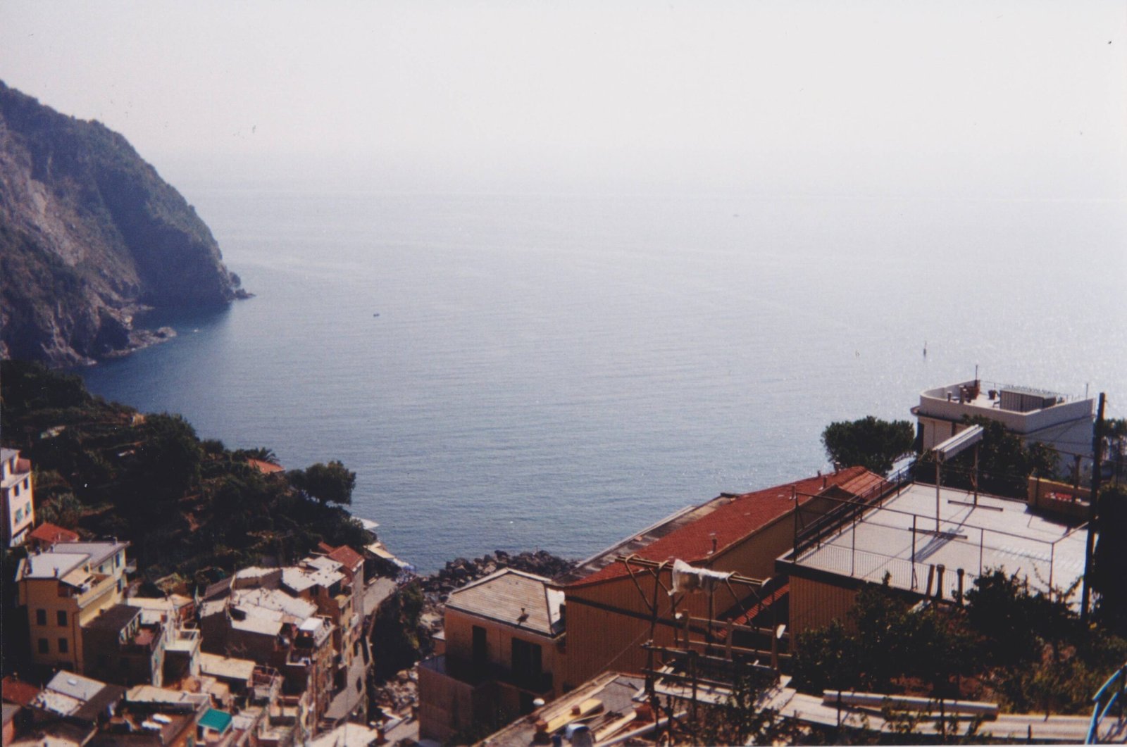
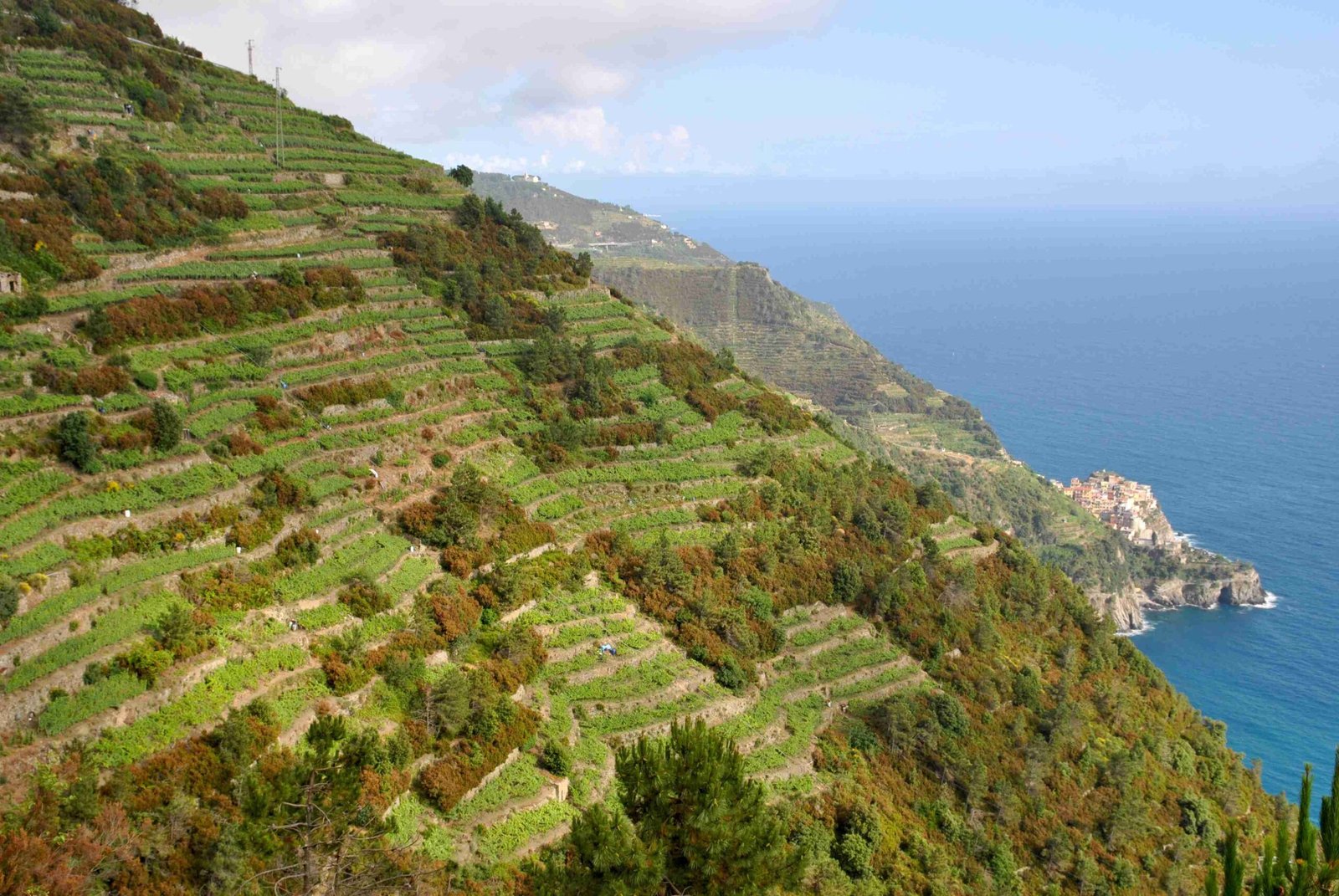
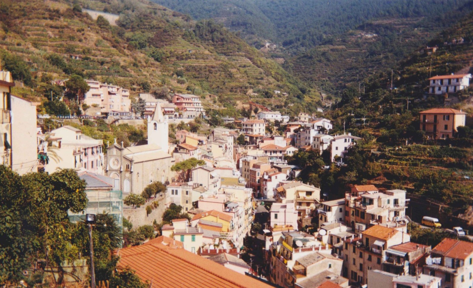
The Cinque Terre High Trail represents an extraordinary 35-kilometer mountain pathway traversing the stunning coastal landscape of northwestern Italy, offering hikers an unparalleled journey through rugged terrain, historic villages, and panoramic Mediterranean vistas. This challenging trail connects five legendary villages while presenting adventurers with remarkable elevation changes, spectacular viewpoints, and an immersive experience in one of Italy’s most iconic hiking destinations.
What Makes the Cinque Terre High Trail Unique?

The Cinque Terre High Trail (Alta Via delle Cinque Terre) is not just a hiking route, but a transformative journey through natural and cultural landscapes. Unlike traditional coastal walks, this trail elevates hikers above the famous villages, providing unprecedented perspectives of the Ligurian coastline.
Who Should Attempt the Cinque Terre High Trail?
| Hiker Category | Recommended Fitness Level | Trail Suitability |
|---|---|---|
| Beginner Hikers | Moderate Fitness | Partial Trail Sections |
| Intermediate Hikers | Good Physical Condition | Most Trail Sections |
| Advanced Hikers | Excellent Endurance | Full Trail Completion |
What Are the Key Trail Characteristics?

Trail Specifications
- Total Length: 35 kilometers
- Estimated Hiking Time: 11-13 hours
- Elevation Range: 0-800 meters above sea level
- Difficulty Level: Moderate to Challenging
What Landscapes Will Hikers Encounter?
Hikers will experience diverse terrains including:
– Rocky Mediterranean coastal paths
– Terraced vineyard landscapes
– Dense Mediterranean macchia vegetation
– Panoramic mountain ridge trails
– Historic agricultural terrains
How to Prepare for the Cinque Terre High Trail?
Essential Preparation Checklist
- Physical Training
- Build cardiovascular endurance
- Practice hiking with loaded backpack
-
Strengthen leg muscles
-
Equipment Recommendations
- Sturdy hiking boots
- Lightweight, moisture-wicking clothing
- Trekking poles
- Hydration system
- Sun protection
- Navigation tools (GPS/Maps)
What Are the Best Sections of the Trail?
Recommended Trail Segments
- Portovenere to Riomaggiore: Challenging but scenic coastal section
- Monterosso to Vernazza: Stunning village-to-village route
- Corniglia Ridge Trail: Panoramic Mediterranean views
- Manarola Mountain Passage: Historic agricultural landscapes
When Should You Hike the Trail?
Optimal Hiking Seasons
- Spring (April-May): Mild temperatures, blooming landscapes
- Early Autumn (September-October): Comfortable hiking conditions
- Avoid: Mid-Summer (June-August) due to extreme heat
What Are the Potential Challenges?
Trail Difficulties
- Steep, rocky terrain
- Limited water sources
- Potential weather variations
- Navigation complexity
- Physical endurance requirements
How to Access the Trail?
Transportation Options
- Train connections between villages
- Local bus services
- Nearest airports: Pisa and Genoa
- Recommended starting points: Portovenere or Levanto
Recommended Accommodations
Lodging Near Trail
- Mountain refuges
- Village guesthouses
- Boutique hotels in Cinque Terre villages
- Camping options in nearby areas
Safety Considerations
Essential Safety Tips
- Carry sufficient water
- Use proper hiking equipment
- Check weather forecasts
- Inform someone about your route
- Carry basic first-aid kit
Estimated Costs
Budget Breakdown
- Trail Access: Free
- Accommodation: €50-€200 per night
- Food: €20-€50 per day
- Equipment Rental: €20-€50
Pro Tip: Purchase Cinque Terre hiking pass for trail access and local transportation.
Final Recommendations
The Cinque Terre High Trail offers an extraordinary hiking experience combining natural beauty, cultural heritage, and physical challenge. Proper preparation, realistic expectations, and a spirit of adventure will ensure an unforgettable journey.

