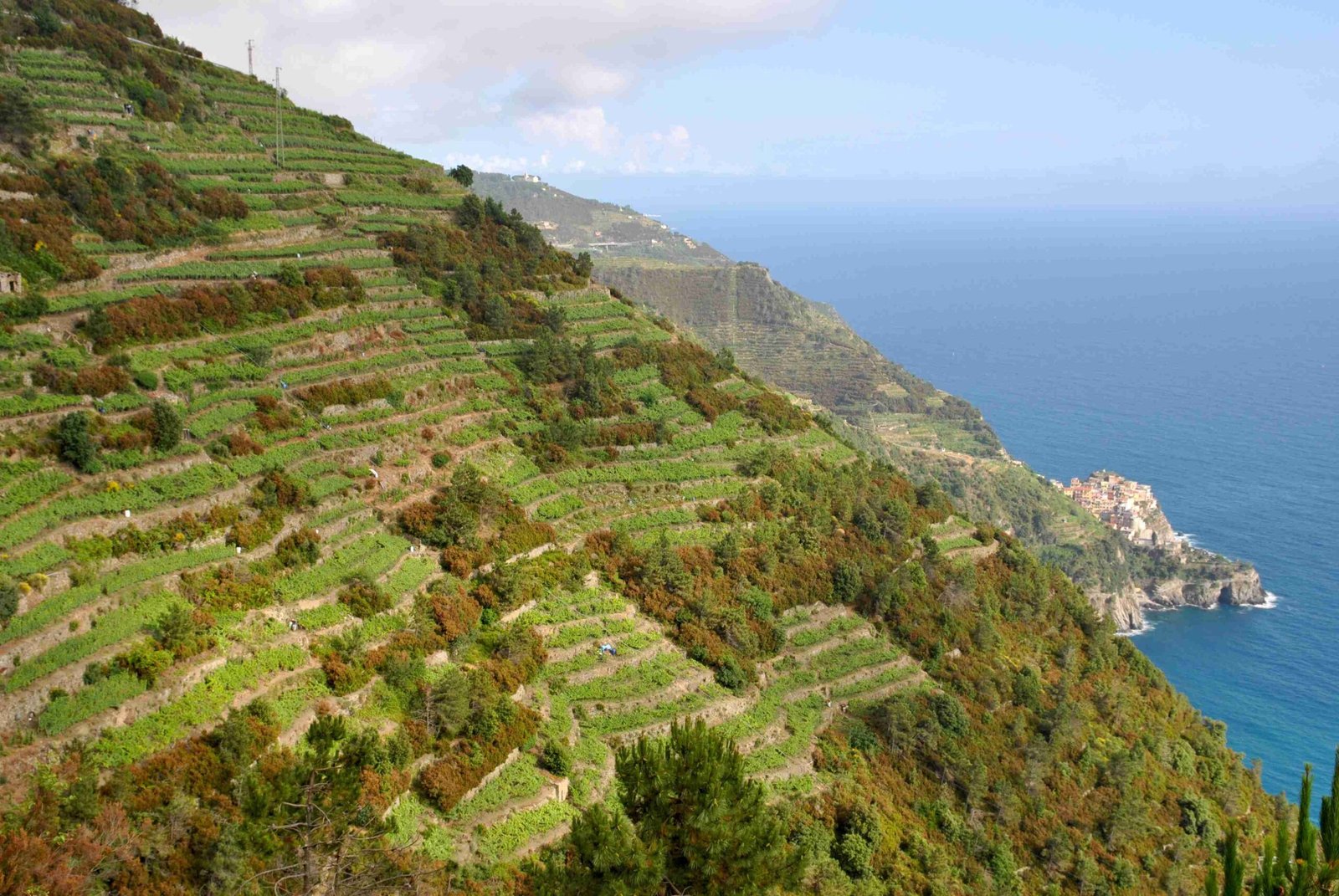
Navigating the breathtaking Cinque Terre hiking trails requires precise GPS tracking and comprehensive route information. This guide provides detailed Cinque Terre hike GPX files, covering trail distances, difficulty levels, and essential navigation insights for hikers seeking to explore the stunning coastal paths connecting five picturesque Italian villages.
What Are Cinque Terre Hike GPX Files?
GPX (GPS Exchange Format) files are digital trail maps containing precise geographical coordinates, elevation data, and route information for hiking trails. For Cinque Terre, these files enable precise navigation through challenging and scenic coastal paths.
Where to Download Cinque Terre Hike GPX Files?
| Platform | Features | Cost |
|---|---|---|
| Outdooractive | Comprehensive trail coverage | Free/Paid |
| Komoot | Detailed route segments | Free |
| Bergfex | Elevation profiles | Free |
How Difficult Are Cinque Terre Hiking Trails?
Cinque Terre hiking trails range from easy coastal walks to challenging mountain paths:
- Easy Trails:
- Manarola – Riomaggiore (Via dell’Amore)
- Flat, paved paths
-
Minimal elevation changes
-
Moderate Trails:
- Monterosso – Vernazza
- Mixed terrain
- Some stair climbing
-
Panoramic coastal views
-
Challenging Trails:
- Riomaggiore – Portovenere
- Steep ascents and descents
- Dense forest terrain
- Requires good physical fitness
What Equipment Do You Need for Cinque Terre Hike GPX Navigation?
Essential equipment for successful trail navigation:
- Smartphone with GPS capabilities
- Offline map applications
- Portable battery charger
- Comfortable hiking shoes
- Water-resistant backpack
- Downloaded GPX files
How to Use Cinque Terre Hike GPX Files?
Step-by-Step GPX File Usage
- Download GPX files from recommended platforms
- Import files into navigation apps
- Verify trail connectivity
- Check current trail conditions
- Prepare backup physical maps
What Are Trail Permit Requirements?
Hikers must purchase a Cinque Terre Card:
– Trekking Card: €7.50
– Treno Card (includes train travel): €16
– Provides access to main coastal trails
When Should You Hike Cinque Terre?
Recommended Hiking Seasons:
– Spring (April-May)
– Autumn (September-October)
Avoid:
– Peak summer months (crowded)
– Winter (potential trail closures)
Trail Distance and Duration Overview
| Trail Segment | Distance | Estimated Duration |
|---|---|---|
| Monterosso – Vernazza | 3.6 km | 2 hours |
| Vernazza – Corniglia | 3.5 km | 1.5 hours |
| Corniglia – Manarola | 4 km | 2 hours |
| Manarola – Riomaggiore | 1.5 km | 1 hour |
| Riomaggiore – Portovenere | 13 km | 5 hours |
Safety Recommendations
- Carry sufficient water
- Wear appropriate hiking gear
- Check weather forecasts
- Inform someone about your hiking plans
- Carry basic first-aid kit
Pro Tips for Cinque Terre Hike GPX Navigation
- Download offline maps
- Use multiple navigation apps
- Keep devices charged
- Start early in the morning
- Stay hydrated
Reference:
– Cinque Terre Official Website
– Outdooractive Trails
– Komoot Hiking Routes

