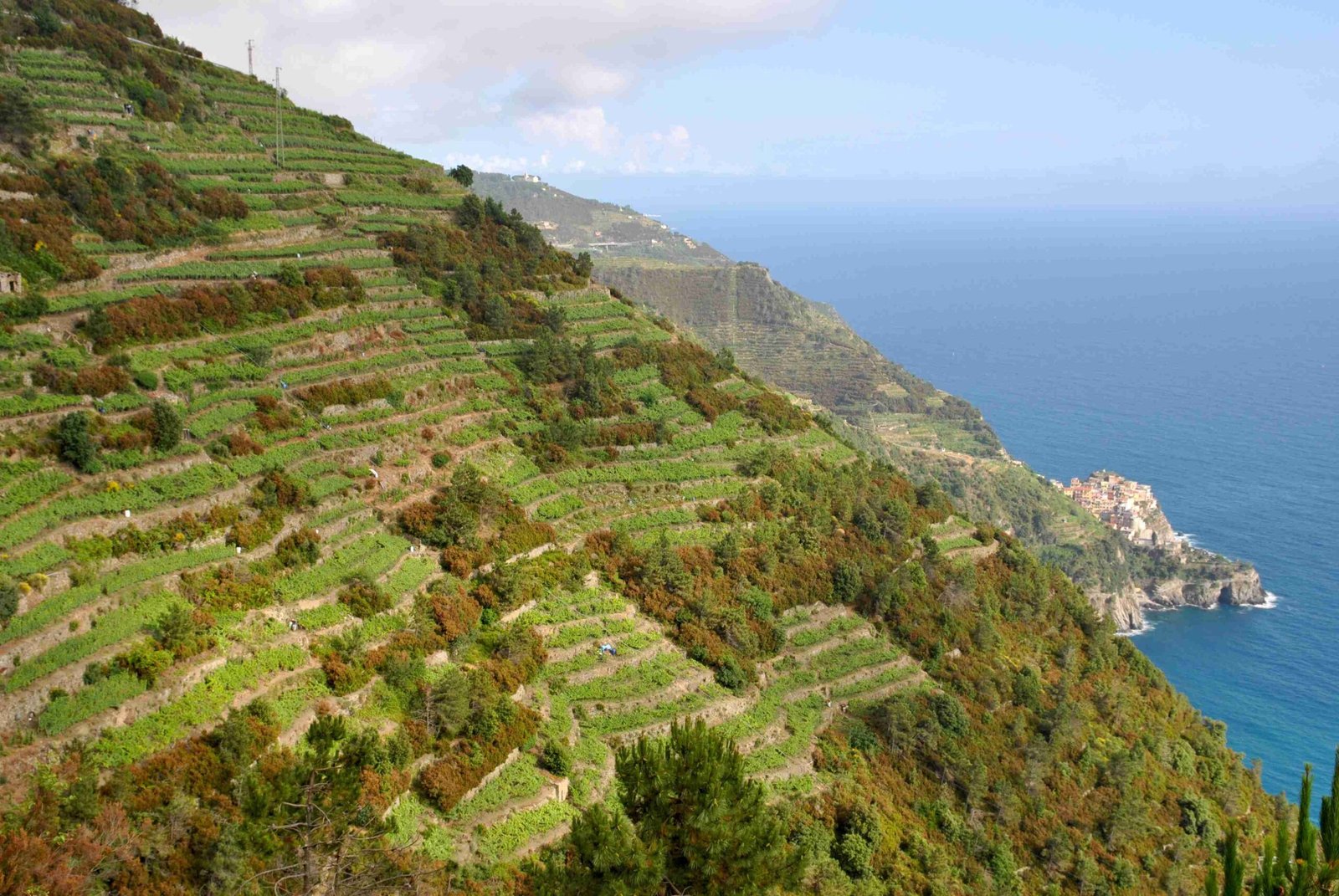
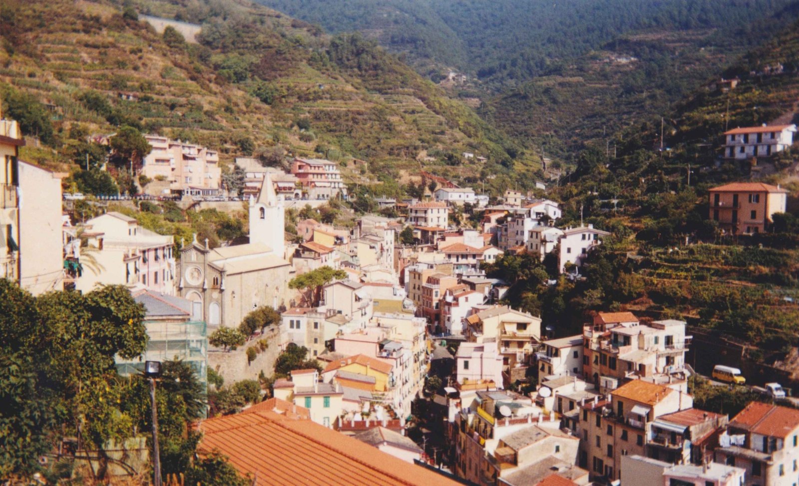
The Blue Trail (Sentiero Azzurro) in Cinque Terre is a breathtaking coastal hiking route spanning approximately 11-12 kilometers, connecting five stunning Italian villages. Hikers can expect varied terrain, spectacular Mediterranean views, and a challenging yet rewarding trek that traverses Monterosso, Vernazza, Corniglia, Manarola, and Riomaggiore through meticulously maintained historic paths.
What Are the Exact Distances Between Cinque Terre Villages?

The Blue Trail offers hikers a unique journey through diverse landscapes with specific segment distances:
| Village Segment | Distance | Estimated Hiking Time | Difficulty |
|---|---|---|---|
| Monterosso to Vernazza | 3.7 km | 1.5 – 2 hours | Challenging |
| Vernazza to Corniglia | 3.5 km | 1.5 hours | Moderate |
| Corniglia to Manarola | 3 km | Currently Closed | N/A |
| Manarola to Riomaggiore | 1.3 km | 30 minutes | Easy |
Key Hiking Considerations for Blue Trail
Physical Preparation Requirements
- Moderate to high fitness level recommended
- Comfortable hiking shoes essential
- Carry sufficient water and snacks
- Sun protection is crucial
Trail Elevation and Terrain Insights
The Blue Trail presents significant elevation variations:
– Monterosso to Vernazza section includes 764 feet elevation gain
– Numerous stone staircases and narrow pathways
– Terrain ranges from cobblestone to dirt tracks
– Some sections require careful navigation
How Challenging Is the Complete Blue Trail?

Hiking the entire Blue Trail demands physical endurance and strategic planning. Total accumulated hiking time typically ranges between 5-6 hours, excluding village exploration time. Hikers should anticipate:
- Varied terrain complexity
- Significant elevation changes
- Potential weather-related challenges
- Need for proper trail access permits
Essential Hiking Recommendations
- Purchase Cinque Terre Card for trail access
- Check current trail conditions before departure
- Consider alternative transportation between villages
- Plan for potential trail closures
What Additional Logistics Should Hikers Know?
Important Trail Access Information:
– Via dell’Amore requires additional €10 fee
– Time-slotted entry management
– Some sections may have seasonal restrictions
– Train and bus services available as alternatives
Recommended Hiking Season
- Late spring (May-June)
- Early autumn (September-October)
- Avoid peak summer months for comfortable hiking conditions
What Equipment Should Hikers Carry?
Recommended hiking gear includes:
– Sturdy hiking boots
– Lightweight backpack
– Minimum 2 liters of water
– High-energy snacks
– Sunscreen
– Hat
– Light jacket
– First-aid kit
– Mobile phone with offline maps
Safety Precautions
- Stay on marked trails
- Respect local guidelines
- Check weather forecasts
- Inform someone about your hiking plans
How to Optimize Your Blue Trail Experience?
- Start early in the morning
- Pace yourself during challenging segments
- Take frequent short breaks
- Capture memorable photographs
- Engage with local village cultures
Pro Tip: Consider splitting the trail across multiple days to fully appreciate each village’s unique character and minimize physical strain.
Final Trail Navigation Advice
While the Blue Trail offers an extraordinary hiking experience, flexibility and preparation are key to enjoying this remarkable coastal journey.
Reference:
– Two Outliers Hiking Guide
– Earth Trekkers Cinque Terre Insights
– Official Cinque Terre Tourism Website
